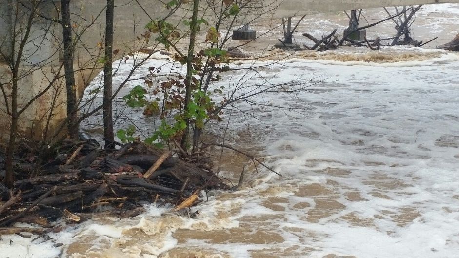
DANVILLE, Va. – Flood warnings remain in effect along the Dan River, which is expected to crest at levels not seen since Hurricane Michael in October 2018. The National Weather Service is projecting that the Dan River will crest at around 32 feet in Danville and remain above flood stage until Sunday morning. If that happens, it would be the highest level on record since the river gauging station was moved in 1996.
Numerous roads are still closed due to flooding in Danville and across Pittsylvania, Halifax and Charlotte Counties. In the city, Water Street is closed; along with Trade Street from Advance Street to the Danville Stadium Cinema complex; along with a section of Goodyear Boulevard from the Danville Expressway to Jenny Lane.
National Weather Service meteorologist Mike Sporer says low lying areas along the Dan will see flooding through Saturday and perhaps into Saturday night before the river falls below flood stage.
Sporer says the heavy rains over the past two days were caused by a combination of factors that “created a recipe for widespread flooding.” Tropical Storm Eta (located well to the south) and an approaching cold front from the west dumped heavy rains over the entire region. With the ground already saturated, creeks, rivers and streams are leaving their banks.